This is to notify you that City staff are now in receipt of “complete” applications for draft plan of subdivision approval (File No. D07-16-13-0024) and an amendment to the zoning by-law (D02-02-13-0098) for the recently Council-approved Cardinal Creek Village situated within Ward 19 and immediately adjacent to the eastern boundary of Ward 1. The particulars of the applications are outlined below.
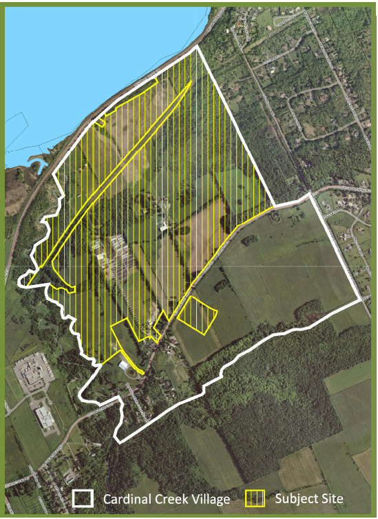
SUBJECT SITE: 1079, 1123, 1161, 1213 and 1291 Old Montreal Road, and 1190 Regional Road 174, which comprises an area of approximately 121 hectares (299 ac.) extending north from Old Montreal Road to Hwy. 174, and east of Cardinal Creek to the rear lot lines of the properties addressed on Ted Kelly Lane. An additional parcel of the lands south of Old Montreal Road are also included. The subject lands are currently occupied by large lot rural residential, institutional and landscape nursery uses. An old farmstead building exists on site. Rural estate lot developments occupy the lands to the east and southeast of the subject site; the lands south of Old Montreal Road are in agricultural operation. Please refer to the attached Location Map of the subject lands.
APPLICANT: Tamarack (Cardinal Creek) Corporation, represented by agent, Richard W. Harrison, Planning Consultant.
DRAFT PLAN OF SUBDIVISION PROPOSAL: The applicant is requesting draft plan of subdivision approval over the northern half of the planned Cardinal Creek Village community to create 612 residential lots and blocks to accommodate 569 single and semi-detached dwellings and 681 multiple attached dwellings, and several large blocks for mixed-use/ commercial, school, and parkland purposes. The planned community is supported by a network of local and collector roads that connect the northern half of the planned community to Old Montreal Road and Hwy. 174. The proposed subdivision layout generally conforms to the approved Concept Plan for the Cardinal Creek Village. See the attached proposed draft plan of subdivision.
PROPOSED ZONING BY-LAW AMENDMENT: The application proposes the rezoning of 121 ha. of urban land from « Rural Countryside” (RU) and Rural Residential » (RR) to « Residential Third Density » (R3), “Residential Fourth Density » (R4), « Minor Institutional » (I1), « Parks and Open Space » (OS1), and « Environmental Protection » (EP), all in support of the related proposed plan of subdivision consisting of 1,250 single and semi-detached and multiple attached residential dwelling units, and several large blocks for mixed-use, commercial, school, and parkland and open space purposes.